

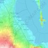
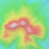
Carte topographique Pangil
Cliquez sur la carte pour afficher l’altitude.
Pangil
The municipality is strategically situated at the southern tip of Sierra Madre mountain range (six barangays) and along the eastern margin of Jalajala Peninsula and just west of the northwestern shore of the easternmost major embayment of Laguna de Bay (two barangays). Its narrow strip of territory traverses in its length by Pangil River (12.5 km long), valued for its pristine and abundant water contributing to its domestic, agricultural, ecotourism and other potential economic uses like bulk water and hydropower. Its topography is generally flat in between rolling and steep hills.
À propos de cette carte
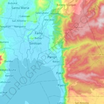
Nom : Carte topographique Pangil, altitude, relief.
Lieu : Pangil, Laguna, Calabarzon, 4018, Philippines (14.36277 121.39184 14.46115 121.53830)
Altitude moyenne : 165 m
Altitude minimum : -5 m
Altitude maximum : 558 m
Autres cartes topographiques
Cliquez sur une carte pour visualiser sa topographie, son altitude et son relief.




















Mount Makiling
Philippines > Laguna > Los Baños
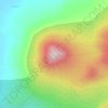
Mount Makiling (also spelled Maquiling) is an inactive stratovolcano located in the provinces of Laguna and Batangas on the island of Luzon in the Philippines. The mountain rises to an elevation of 1,090 meters (3,580 ft) above mean sea level and is the highest feature of the Laguna Volcanic Field. The volcano…
Altitude moyenne : 753 m

