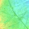
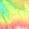
Carte topographique Majayjay
Cliquez sur la carte pour afficher l’altitude.
Majayjay
Majayjay is situated in the southernmost part of Laguna. It nestles at the foot of Mt. Banahaw, and due to its higher altitude at some 2,700+ ft above sea level, the town makes for a popular vacation destination during summer in the Philippines. It was once branded as the 'Summer Capital of the Philippines' 300–400 years ago during the Spanish era, when most of the prominent names in the Spanish colonial Philippines visited the area. Other sights along the streets include the remnants of the said era of Spanish-inspired houses that still stand at periodic key locations, mostly in the town square. Affluent families still have their ancestral houses maintained.
À propos de cette carte
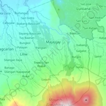
Nom : Carte topographique Majayjay, altitude, relief.
Lieu : Majayjay, Laguna, Calabarzon, Philippines (14.06786 121.43648 14.19532 121.51789)
Altitude moyenne : 488 m
Altitude minimum : 43 m
Altitude maximum : 2.136 m
Autres cartes topographiques
Cliquez sur une carte pour visualiser sa topographie, son altitude et son relief.



















Mount Makiling
Philippines > Laguna > Los Baños
Mount Makiling (also spelled Maquiling) is an inactive stratovolcano located in the provinces of Laguna and Batangas on the island of Luzon in the Philippines. The mountain rises to an elevation of 1,090 meters (3,580 ft) above mean sea level and is the highest feature of the Laguna Volcanic Field. The volcano…
Altitude moyenne : 753 m