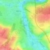
Carte topographique Gera
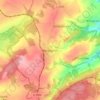
Cliquez sur la carte pour afficher l’altitude.
Gera
Gera is located in a smooth-hilly landscape in eastern Thuringia at the White Elster river (progression: Saale→ Elbe→ North Sea), between the Thuringian Highland approx. 50 km (31 mi) in the south-west, the Ore Mountains approx. 50 km (31 mi) in the south-east and the Leipzig Bay approx. 50 km (31 mi) in the north. The municipal territory is marked by the Elster valley, crossing it in south-northern direction. West of the valley, the landscape is more hilly and forested (with the Gera Municipal Forest), whereas the eastern parts are more flat and in agricultural use. The elevation is between 180 metres (the level of the White Elster river) and 354 m (1,161.42 ft) (when measured at Gera-Falka at the furthest southeastern point). Usually the height above sea level for the city appears as 205 m (673 ft) when measured at the market place.
À propos de cette carte
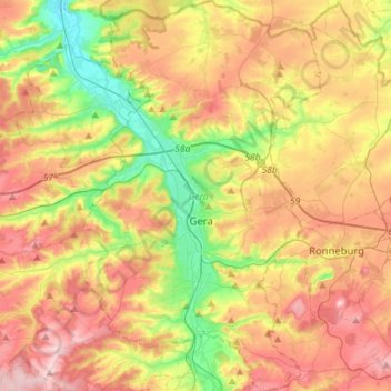
Nom : Carte topographique Gera, altitude, relief.
Lieu : Gera, Thuringia, Germany (50.79862 11.99816 50.97659 12.16952)
Altitude moyenne : 278 m
Altitude minimum : 172 m
Altitude maximum : 390 m
Autres cartes topographiques
Cliquez sur une carte pour visualiser sa topographie, son altitude et son relief.
Jena
Jena is situated in a hilly landscape in eastern Thuringia at the Saale river, between the Harz mountains 85 km (53 mi) in the north, the Thuringian Forest/Thuringian Highland 50 km (31 mi) in the southwest and the Ore Mountains, 75 km (47 mi) in the southeast. The municipal terrain is hilly with rugged slopes…
Altitude moyenne : 289 m







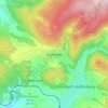
Rotterode
Germany > Thuringia > Landkreis Schmalkalden-Meiningen > Steinbach-Hallenberg
Altitude moyenne : 570 m

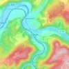
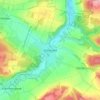
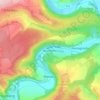


Unterburg
Germany > Thuringia > Kyffhäuserkreis > Kyffhäuserland > Kohlstätte
Altitude moyenne : 301 m