
Carte topographique Nanga Parbat
Carte interactive
Cliquez sur la carte pour afficher l’altitude.
À propos de cette carte
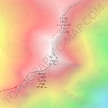
Nom : Carte topographique Nanga Parbat, altitude, relief.
Altitude moyenne : 7.086 m
Altitude minimum : 5.181 m
Altitude maximum : 8.104 m
To the south, Nanga Parbat has what is often referred to as the highest mountain face in the world: the Rupal Face rises 4,600 m (15,090 ft) above its base. To the north, the complex, somewhat more gently sloped Rakhiot Flank rises 7,000 m (23,000 ft) from the Indus River valley to the summit in just 25 km (16 mi), one of the ten greatest elevation gains in such a short distance on Earth.
Autres cartes topographiques
Cliquez sur une carte pour visualiser sa topographie, son altitude et son relief.
Gorikot
Pakistan > Gilgit-Baltistan > Astore District
Gorikot, Astore Tehsil, Astore District, Gilgit-Baltistan, Pakistan
Altitude moyenne : 2.638 m
Chilum
Pakistan > Gilgit-Baltistan > Astore District
Chilum, Astore District, Diamer-Astore Division, Gilgit-Baltistan, Pakistan
Altitude moyenne : 3.702 m