
Carte topographique Othmarsingen
Carte interactive
Cliquez sur la carte pour afficher l’altitude.
À propos de cette carte
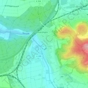
Nom : Carte topographique Othmarsingen, altitude, relief.
Lieu : Othmarsingen, Bezirk Lenzburg, Aargau, 5504, Switzerland (47.39114 8.19769 47.41473 8.23451)
Altitude moyenne : 432 m
Altitude minimum : 385 m
Altitude maximum : 567 m
Autres cartes topographiques
Cliquez sur une carte pour visualiser sa topographie, son altitude et son relief.
Staufen
Switzerland > Aargau > Bezirk Lenzburg > Staufen
Staufen, Bezirk Lenzburg, Aargau, 5603, Switzerland
Altitude moyenne : 425 m