
Carte topographique מועצה אזורית עמק הירדן
Carte interactive
Cliquez sur la carte pour afficher l’altitude.
À propos de cette carte
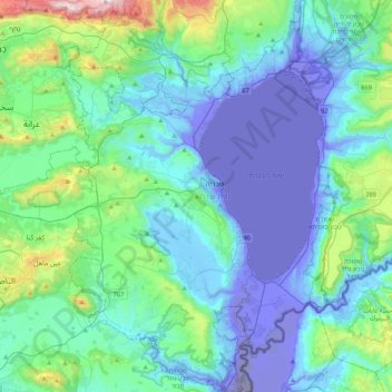
Nom : Carte topographique מועצה אזורית עמק הירדן, altitude, relief.
Lieu : מועצה אזורית עמק הירדן, District nord, Israël (32.60511 35.43254 32.96007 35.66274)
Altitude moyenne : 103 m
Altitude minimum : -259 m
Altitude maximum : 1.061 m