
Carte topographique Boxholms kommun
Carte interactive
Cliquez sur la carte pour afficher l’altitude.
À propos de cette carte
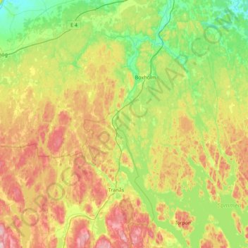
Nom : Carte topographique Boxholms kommun, altitude, relief.
Lieu : Boxholms kommun, Comté d'Östergötland, Suède (57.95381 14.86429 58.30753 15.38235)
Altitude moyenne : 169 m
Altitude minimum : 94 m
Altitude maximum : 296 m