
Carte topographique Poltimore
Carte interactive
Cliquez sur la carte pour afficher l’altitude.
À propos de cette carte
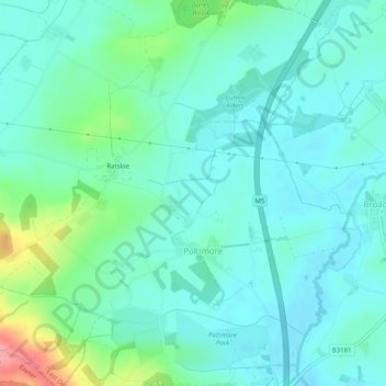
Nom : Carte topographique Poltimore, altitude, relief.
Lieu : Poltimore, East Devon, Devon, England, United Kingdom (50.75106 -3.49686 50.78288 -3.44792)
Altitude moyenne : 34 m
Altitude minimum : 11 m
Altitude maximum : 117 m
Autres cartes topographiques
Cliquez sur une carte pour visualiser sa topographie, son altitude et son relief.
Exmouth
United Kingdom > England > Devon > East Devon
Exmouth, East Devon, Devon, England, United Kingdom
Altitude moyenne : 29 m