
Carte topographique 360 views of Rakkposhi and Hunza
Carte interactive
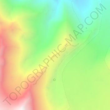
Cliquez sur la carte pour afficher l’altitude.
À propos de cette carte
Nom : Carte topographique 360 views of Rakkposhi and Hunza, altitude, relief.
Altitude moyenne : 3.472 m
Altitude minimum : 2.916 m
Altitude maximum : 4.190 m