
Carte topographique Davis
Carte interactive
Cliquez sur la carte pour afficher l’altitude.
À propos de cette carte
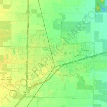
Nom : Carte topographique Davis, altitude, relief.
Lieu : Davis, Yolo County, California, United States of America (38.53489 -121.79407 38.57559 -121.67550)
Altitude moyenne : 14 m
Altitude minimum : 3 m
Altitude maximum : 23 m
Davis lies in the Sacramento Valley, the northern portion of the Central Valley, in Northern California, at an elevation of about 52 feet (16 m) above sea level.