
Carte topographique Cuyo
Carte interactive
Cliquez sur la carte pour afficher l’altitude.
À propos de cette carte
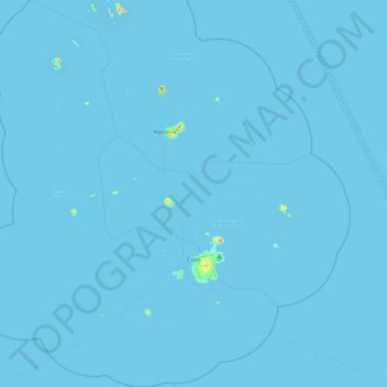
Nom : Carte topographique Cuyo, altitude, relief.
Lieu : Cuyo, Palawan, Mimaropa, 5318, Philippines (10.55859 120.47054 11.46030 121.20413)
Altitude moyenne : 0 m
Altitude minimum : -1 m
Altitude maximum : 243 m
Cuyo Island is the largest island of the Cuyo Archipelago, about 13 kilometres (8.1 mi) long, 7.5 kilometres (4.7 mi) wide, and with an area of 57 square kilometres (22 sq mi). Mount Bonbon with an elevation of 817 ft (249 m) is the highest mountain in Cuyo island. The Island is under the jurisdiction of the municipalities of Cuyo and Magsaysay. The poblacion of Cuyo is home to a Spanish fort, which shelters a church and a convent in its high stone walls..