
Carte topographique Ruhstorf
Carte interactive
Cliquez sur la carte pour afficher l’altitude.
À propos de cette carte
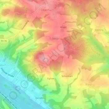
Nom : Carte topographique Ruhstorf, altitude, relief.
Lieu : Ruhstorf, Windorf, Landkreis Passau, Bayern, Deutschland (48.62581 13.24427 48.62697 13.24685)
Altitude moyenne : 376 m
Altitude minimum : 297 m
Altitude maximum : 439 m
Autres cartes topographiques
Cliquez sur une carte pour visualiser sa topographie, son altitude et son relief.
Vordergalgenberg
Deutschland > Bayern > Landkreis Passau > Windorf
Vordergalgenberg, Windorf, Landkreis Passau, Bayern, Deutschland
Altitude moyenne : 460 m