
Carte topographique 旱山頂 Hon Shan Teng
Carte interactive
Cliquez sur la carte pour afficher l’altitude.
À propos de cette carte
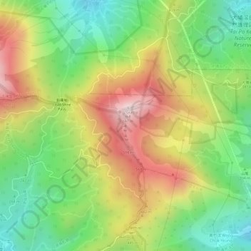
Nom : Carte topographique 旱山頂 Hon Shan Teng, altitude, relief.
Altitude moyenne : 380 m
Altitude minimum : 158 m
Altitude maximum : 628 m