
Carte topographique Baghera
Carte interactive
Cliquez sur la carte pour afficher l’altitude.
À propos de cette carte
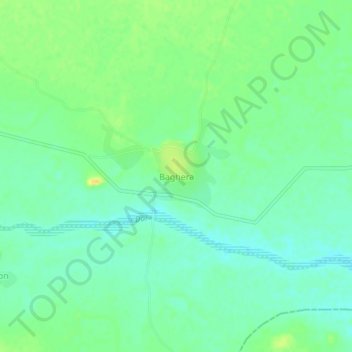
Nom : Carte topographique Baghera, altitude, relief.
Altitude moyenne : 321 m
Altitude minimum : 310 m
Altitude maximum : 338 m
Autres cartes topographiques
Cliquez sur une carte pour visualiser sa topographie, son altitude et son relief.
Kekri
India > Rajasthan > Kekri Tehsil
Kekri, Kekri Tehsil, Ajmer District, Rajasthan, 305404, India
Altitude moyenne : 353 m