
Carte topographique Karoo National Park Interpretive Centre
Carte interactive
Cliquez sur la carte pour afficher l’altitude.
À propos de cette carte
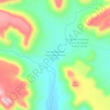
Nom : Carte topographique Karoo National Park Interpretive Centre, altitude, relief.
Altitude moyenne : 1.013 m
Altitude minimum : 868 m
Altitude maximum : 1.251 m