Carte topographique Wall
Carte interactive
Cliquez sur la carte pour afficher l’altitude.
À propos de cette carte
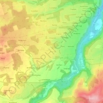
Nom : Carte topographique Wall, altitude, relief.
Lieu : Wall, Warngau, Landkreis Miesbach, Bayern, 83627, Deutschland (47.76921 11.75061 47.80921 11.79061)
Altitude moyenne : 734 m
Altitude minimum : 644 m
Altitude maximum : 822 m
Autres cartes topographiques
Cliquez sur une carte pour visualiser sa topographie, son altitude et son relief.
Burgweg
Deutschland > Bayern > Landkreis Miesbach > Warngau > Bernloh
Burgweg, Bernloh, Warngau, Landkreis Miesbach, Bayern, 83627, Deutschland
Altitude moyenne : 759 m
Loch
Deutschland > Bayern > Landkreis Miesbach > Warngau > Wall
Loch, Wall, Warngau, Landkreis Miesbach, Bayern, 83627, Deutschland
Altitude moyenne : 733 m