
Carte topographique City and County of Broomfield
Carte interactive
Cliquez sur la carte pour afficher l’altitude.
À propos de cette carte
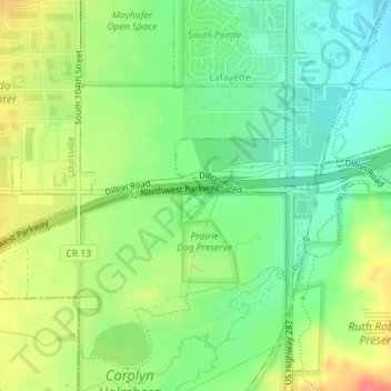
Nom : Carte topographique City and County of Broomfield, altitude, relief.
Lieu : City and County of Broomfield, Colorado, USA (39.95620 -105.10908 39.95912 -105.09073)
Altitude moyenne : 1.605 m
Altitude minimum : 1.579 m
Altitude maximum : 1.641 m