
Carte topographique Chorillos
Cliquez sur la carte pour afficher l’altitude.
À propos de cette carte
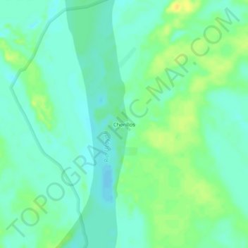
Nom : Carte topographique Chorillos, altitude, relief.
Lieu : Chorillos, Sarayacu, Ucayali, Loreto, Perú (-6.10988 -75.04206 -6.06988 -75.00206)
Altitude moyenne : 116 m
Altitude minimum : 107 m
Altitude maximum : 129 m