
Faire un don
Équipez-vous pour votre prochaine aventure :
En tant que Partenaire Amazon, ce site perçoit une commission sur les achats éligibles sans surcoût pour vous.
Carte topographique Fanjing Mountain
Cliquez sur la carte pour afficher l’altitude.
Faire un don
Équipez-vous pour votre prochaine aventure :
En tant que Partenaire Amazon, ce site perçoit une commission sur les achats éligibles sans surcoût pour vous.
Fanjing Mountain
The Fanjingshan (Chinese: 梵净山; pinyin: Fànjìngshān) or Mount Fanjing, located in Tongren, Guizhou province, is the highest peak of the Wuling Mountains in southeastern China, at an elevation of 2,570 m (8,430 ft). The Fanjingshan National Nature Reserve was established in 1978 and designated a UNESCO Biosphere Reserve in 1986. Fanjingshan is a sacred mountain in Chinese Buddhism, considered to be the bodhimaṇḍa of the Maitreya Buddha. It became a UNESCO World Heritage Site in 2018.
Faire un don
Équipez-vous pour votre prochaine aventure :
En tant que Partenaire Amazon, ce site perçoit une commission sur les achats éligibles sans surcoût pour vous.
À propos de cette carte
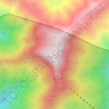
Nom : Carte topographique Fanjing Mountain, altitude, relief.
Altitude moyenne : 2.054 m
Altitude minimum : 1.466 m
Altitude maximum : 2.459 m
Faire un don
Équipez-vous pour votre prochaine aventure :
En tant que Partenaire Amazon, ce site perçoit une commission sur les achats éligibles sans surcoût pour vous.