
Carte topographique Ballyshannon
Carte interactive
Cliquez sur la carte pour afficher l’altitude.
À propos de cette carte
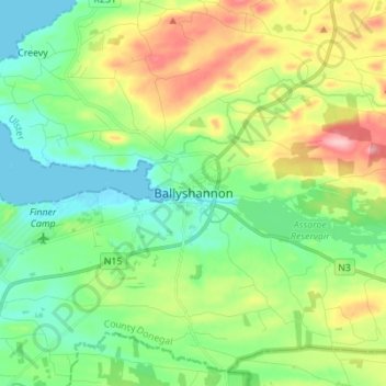
Nom : Carte topographique Ballyshannon, altitude, relief.
Lieu : Ballyshannon, County Donegal, Ireland (54.46198 -8.22977 54.54198 -8.14977)
Altitude moyenne : 50 m
Altitude minimum : -1 m
Altitude maximum : 152 m