
Carte topographique Justinhaugh
Carte interactive
Cliquez sur la carte pour afficher l’altitude.
À propos de cette carte
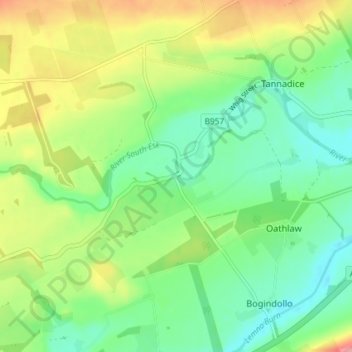
Nom : Carte topographique Justinhaugh, altitude, relief.
Lieu : Justinhaugh, Oathlaw, Angus, Scotland, DD8 3SD, United Kingdom (56.68193 -2.90128 56.72193 -2.86128)
Altitude moyenne : 86 m
Altitude minimum : 49 m
Altitude maximum : 151 m