
Carte topographique Inskip
Cliquez sur la carte pour afficher l’altitude.
À propos de cette carte
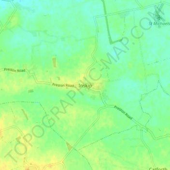
Nom : Carte topographique Inskip, altitude, relief.
Altitude moyenne : 14 m
Altitude minimum : 4 m
Altitude maximum : 25 m
Autres cartes topographiques
Cliquez sur une carte pour visualiser sa topographie, son altitude et son relief.
Inskip-with-Sowerby
United Kingdom > England > Lancashire > Borough of Wyre > Inskip
Altitude moyenne : 14 m
Preesall
United Kingdom > England > Lancashire > Borough of Wyre > Knott End-On-Sea
Altitude moyenne : 3 m