
Carte topographique Gunlock
Carte interactive
Cliquez sur la carte pour afficher l’altitude.
À propos de cette carte
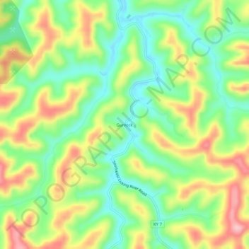
Nom : Carte topographique Gunlock, altitude, relief.
Lieu : Gunlock, Magoffin County, Kentucky, 41632, United States (37.52760 -82.94600 37.56760 -82.90600)
Altitude moyenne : 365 m
Altitude minimum : 293 m
Altitude maximum : 463 m
Autres cartes topographiques
Cliquez sur une carte pour visualiser sa topographie, son altitude et son relief.
Epson
United States > Kentucky > Magoffin County
Epson, Magoffin County, Kentucky, United States
Altitude moyenne : 322 m