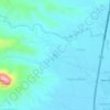
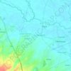
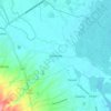
Carte topographique Morong
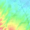
Cliquez sur la carte pour afficher l’altitude.
Morong
The most probable etymology comes from the Spanish word morón which refers to a hill which can be seen from the sea. Several towns in Spain and in Spanish colonies are also named Morón, namely Morón in Cuba; Morón de la Fronterra in Sevilla, Spain; and Morón in Buenos Aires, Argentina, to name a few. These place all have hilly topographies and are nearby the ocean.
À propos de cette carte
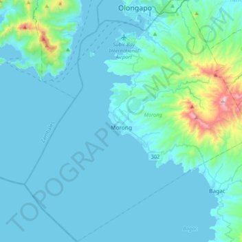
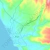
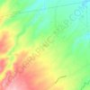
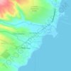
Nom : Carte topographique Morong, altitude, relief.
Lieu : Morong, Bataan, Central Luzon, 2108, Philippines (14.53137 120.13677 14.84108 120.44084)
Altitude moyenne : 111 m
Altitude minimum : -2 m
Altitude maximum : 1.231 m
Autres cartes topographiques
Cliquez sur une carte pour visualiser sa topographie, son altitude et son relief.


Mount Natib
Philippines > Bataan > Morong
Mount Natib is a stratovolcano type of volcano topped by a 6-by-7-kilometre (3.7 by 4.3 mi) acorn-shaped Natib Caldera that is open to the northwest. East of its caldera is the smaller 2-kilometre (1.2 mi) wide Pasukulan Caldera. The highest peak of Mount Natib has an elevation of 1,253 metres (4,111 ft) asl…
Altitude moyenne : 846 m



Mount Mariveles
Philippines > Bataan > Mariveles
Mount Mariveles is a massive stratovolcano topped with a 4-kilometre (2.5 mi) summit caldera which drains to the north. The highest peak, called Mariveles, has an elevation of 1,388 metres (4,554 ft) asl. Mounts Pantingan, Bataan, Tarak, and Vintana are the other peaks of the volcano-caldera complex, which has…
Altitude moyenne : 879 m