
Carte topographique Potipot Island
Carte interactive
Cliquez sur la carte pour afficher l’altitude.
À propos de cette carte
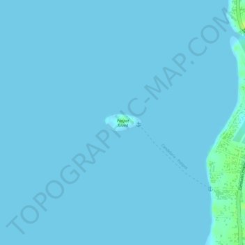
Nom : Carte topographique Potipot Island, altitude, relief.
Lieu : Potipot Island, Uacon, Zambales, Central Luzon, Philippines (15.67713 119.91977 15.67897 119.92386)
Altitude moyenne : 1 m
Altitude minimum : 0 m
Altitude maximum : 14 m