
Carte topographique Wahlsdorf
Carte interactive
Cliquez sur la carte pour afficher l’altitude.
À propos de cette carte
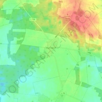
Nom : Carte topographique Wahlsdorf, altitude, relief.
Altitude moyenne : 119 m
Altitude minimum : 96 m
Altitude maximum : 156 m
Autres cartes topographiques
Cliquez sur une carte pour visualiser sa topographie, son altitude et son relief.
Buckow
Deutschland > Brandenburg > Teltow-Fläming > Dahme/Mark > Buckow
Buckow, Dahme/Mark, Teltow-Fläming, Brandenburg, Deutschland
Altitude moyenne : 120 m