
Carte topographique Potter Valley
Cliquez sur la carte pour afficher l’altitude.
Potter Valley
Potter Valley is a census-designated place in Mendocino County, California, United States. It is located 18 miles (29 km) north-northeast of Ukiah, at an elevation of 948 feet (289 m) at the headwaters of the East Fork Russian River. The CDP population was 665 at the 2020 census.
À propos de cette carte
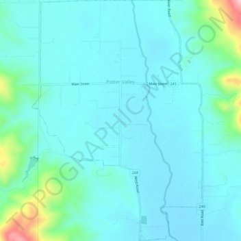
Nom : Carte topographique Potter Valley, altitude, relief.
Lieu : Potter Valley, Mendocino County, California, United States (39.29397 -123.13185 39.33655 -123.09428)
Altitude moyenne : 317 m
Altitude minimum : 275 m
Altitude maximum : 563 m