
Carte topographique Wyberton
Carte interactive
Cliquez sur la carte pour afficher l’altitude.
À propos de cette carte
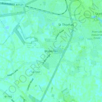
Nom : Carte topographique Wyberton, altitude, relief.
Altitude moyenne : 4 m
Altitude minimum : 1 m
Altitude maximum : 7 m
Autres cartes topographiques
Cliquez sur une carte pour visualiser sa topographie, son altitude et son relief.
Freiston
United Kingdom > England > Lincolnshire > Boston
Freiston, Boston, Lincolnshire, England, PE22 0LH, United Kingdom
Altitude moyenne : 4 m