
Carte topographique Oakhurst
Carte interactive
Cliquez sur la carte pour afficher l’altitude.
À propos de cette carte
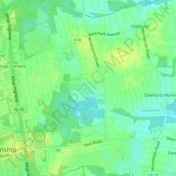
Nom : Carte topographique Oakhurst, altitude, relief.
Altitude moyenne : 15 m
Altitude minimum : 6 m
Altitude maximum : 23 m
According to the United States Census Bureau, the CDP had a total area of 1.614 square miles (4.178 km2), including 1.611 square miles (4.171 km2) of land and 0.003 square miles (0.006 km2) of water (0.16%). The CDP also has an elevation of 46 feet above sea level.