
Carte topographique Kakhk
Carte interactive
Cliquez sur la carte pour afficher l’altitude.
À propos de cette carte
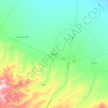
Nom : Carte topographique Kakhk, altitude, relief.
Altitude moyenne : 1.634 m
Altitude minimum : 1.404 m
Altitude maximum : 2.149 m
The city is classified as having a steppe climate with medium latitude at an altitude of 1483.26 meters above sea level. The annual temperature of the region is 17.42 degrees Celsius and 1.01% lower than the average temperature of Iran. Kakhk normally receives about 26.86 mm of rain and has 51.34 rainy days annually.