
Carte topographique Linum
Carte interactive
Cliquez sur la carte pour afficher l’altitude.
À propos de cette carte
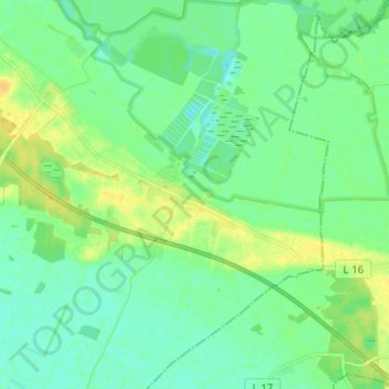
Nom : Carte topographique Linum, altitude, relief.
Altitude moyenne : 35 m
Altitude minimum : 27 m
Altitude maximum : 49 m
Autres cartes topographiques
Cliquez sur une carte pour visualiser sa topographie, son altitude et son relief.
Fehrbellin
Deutschland > Brandenburg > Fehrbellin > Fehrbellin
Fehrbellin, Ostprignitz-Ruppin, Brandenburg, 16833, Deutschland
Altitude moyenne : 35 m
Wustrau-Altfriesack
Deutschland > Brandenburg > Fehrbellin
Wustrau-Altfriesack, Fehrbellin, Ostprignitz-Ruppin, Brandenburg, Deutschland
Altitude moyenne : 37 m