
Carte topographique Cherry Creek State Park
Carte interactive
Cliquez sur la carte pour afficher l’altitude.
À propos de cette carte
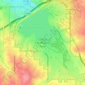
Nom : Carte topographique Cherry Creek State Park, altitude, relief.
Altitude moyenne : 1.713 m
Altitude minimum : 1.669 m
Altitude maximum : 1.761 m