
Carte topographique Khromtau
Carte interactive
Cliquez sur la carte pour afficher l’altitude.
À propos de cette carte
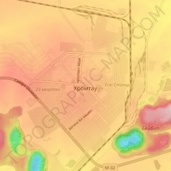
Nom : Carte topographique Khromtau, altitude, relief.
Lieu : Khromtau, Khromtau District, Aktobe Region, 031100, Kazakhstan (50.23670 58.41013 50.27830 58.47657)
Altitude moyenne : 423 m
Altitude minimum : 278 m
Altitude maximum : 506 m