
Carte topographique Red Deer Lake
Cliquez sur la carte pour afficher l’altitude.
À propos de cette carte
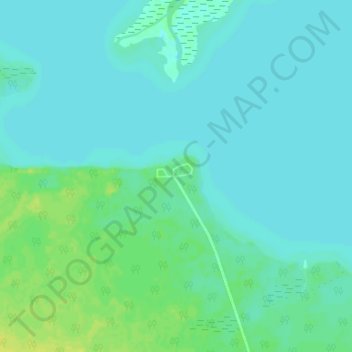
Nom : Carte topographique Red Deer Lake, altitude, relief.
Altitude moyenne : 262 m
Altitude minimum : 258 m
Altitude maximum : 274 m
Autres cartes topographiques
Cliquez sur une carte pour visualiser sa topographie, son altitude et son relief.
Fisher River Cree Nation
Canada > Manitoba > Unorganized Division No. 19 > Dallas/Red Rose
Altitude moyenne : 226 m
Swan Lake
Canada > Manitoba > Unorganized Division No. 19
The Swan Lake drainage basin covers 3,880 square miles (10,000 km2) and extends into the province of Saskatchewan. It is located between the Duck Mountains and the Porcupine Hills. Two major rivers discharge into Swan Lake from the basin, the Swan River and the Woody River. Other topographic features include…
Altitude moyenne : 269 m
Peguis First Nation
Canada > Manitoba > Unorganized Division No. 19 > Dallas/Red Rose
Altitude moyenne : 247 m