
Carte topographique Ranebennur
Cliquez sur la carte pour afficher l’altitude.
Ranebennur
Ranebennuru is at the geographical center of Karnataka. 14°37′N 75°37′E / 14.62°N 75.62°E / 14.62; 75.62. It has an average elevation of 605 metres (1,985 ft). One of Karnataka's most important rivers – the Tungabhadra – flows along the southern border of Ranebennur taluk. Another river, the Kumadvathi, which originates from Madagh Masur Lake flows from Hirekerur taluk, enters Ranebennur taluk, and joins the Tungabhadra river.
À propos de cette carte
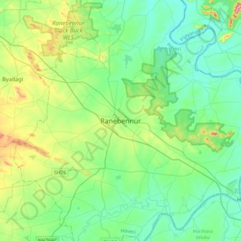
Nom : Carte topographique Ranebennur, altitude, relief.
Altitude moyenne : 574 m
Altitude minimum : 509 m
Altitude maximum : 785 m