
Carte topographique Uvarsad
Cliquez sur la carte pour afficher l’altitude.
À propos de cette carte
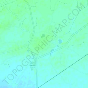
Nom : Carte topographique Uvarsad, altitude, relief.
Altitude moyenne : 72 m
Altitude minimum : 67 m
Altitude maximum : 76 m
Autres cartes topographiques
Cliquez sur une carte pour visualiser sa topographie, son altitude et son relief.
Gandhinagar
India > Gujarat > Gandhinagar Taluka > Gandhinagar
Gandhinagar has an average elevation of 81 metres (266 feet). The city sits on the banks of the Sabarmati River, in north-central-east Gujarat. The 20,543 km2 area around Gandhinagar is defined by Gujarat capital territory. It spans an area of 205 km2 (79 sq mi). The river frequently dries up in the summer,…
Altitude moyenne : 76 m
Adalaj
India > Gujarat > Gandhinagar Taluka
Adalaj is located at 23°10′N 72°35′E / 23.17°N 72.58°E / 23.17; 72.58. It has an average elevation of 66 metres (217 ft). According to the Bureau of Indian Standards, the town falls under seismic zone 3, in a scale of 2 to 5 (in order of increasing vulnerability to earthquakes).
Altitude moyenne : 66 m