
Carte topographique Oxidation Pond
Cliquez sur la carte pour afficher l’altitude.
À propos de cette carte
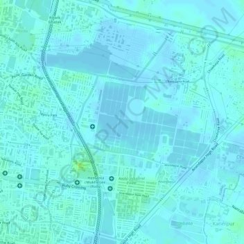
Nom : Carte topographique Oxidation Pond, altitude, relief.
Lieu : Oxidation Pond, Kolkata, West Bengal, 700100, India (22.52077 88.40446 22.52087 88.40456)
Altitude moyenne : 3 m
Altitude minimum : -3 m
Altitude maximum : 12 m
Autres cartes topographiques
Cliquez sur une carte pour visualiser sa topographie, son altitude et son relief.