
Carte topographique Inishowen
Carte interactive
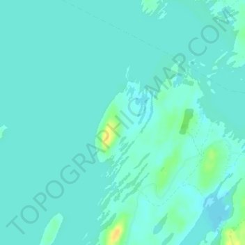
Cliquez sur la carte pour afficher l’altitude.
À propos de cette carte
Nom : Carte topographique Inishowen, altitude, relief.
Altitude moyenne : 18 m
Altitude minimum : 13 m
Altitude maximum : 38 m
Autres cartes topographiques
Cliquez sur une carte pour visualiser sa topographie, son altitude et son relief.
Clare Island
Clare Island, Westport-Belmullet Municipal District, County Mayo, Connacht, Irlande
Altitude moyenne : 29 m