
Carte topographique Ramgarh
Carte interactive
Cliquez sur la carte pour afficher l’altitude.
À propos de cette carte
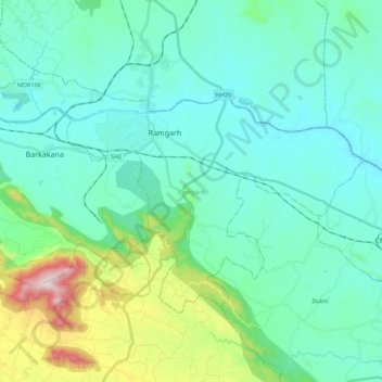
Nom : Carte topographique Ramgarh, altitude, relief.
Lieu : Ramgarh, Jharkhand, Inde (23.53444 85.41517 23.66363 85.63695)
Altitude moyenne : 426 m
Altitude minimum : 290 m
Altitude maximum : 1.034 m
Autres cartes topographiques
Cliquez sur une carte pour visualiser sa topographie, son altitude et son relief.