
Carte topographique 珠穆朗玛峰 - Mount Sagarmatha
Carte interactive
Cliquez sur la carte pour afficher l’altitude.
À propos de cette carte
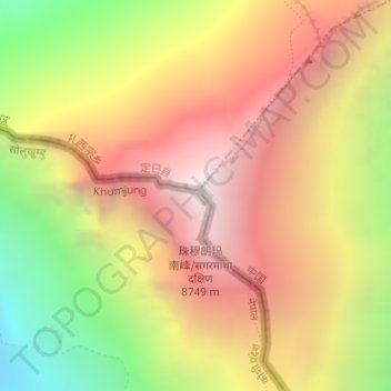
Nom : Carte topographique 珠穆朗玛峰 - Mount Sagarmatha, altitude, relief.
Altitude moyenne : 7.841 m
Altitude minimum : 6.586 m
Altitude maximum : 8.849 m