Géolocaliser

Carte topographique Buxton

Carte interactive

Cliquez sur la carte pour afficher l’altitude.

À propos de cette carte

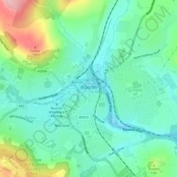
Nom : Carte topographique Buxton, altitude, relief.

Lieu : Buxton, High Peak, Derbyshire, England, United Kingdom (53.24499 -1.93022 53.27317 -1.88366)

Altitude moyenne : 334 m

Altitude minimum : 285 m

Altitude maximum : 460 m

Buxton has an oceanic climate with short, mild summers and long, cool winters. At about 1,000 feet (300 m) above sea level, Buxton is the highest market town in England. Buxton's elevation makes it cooler and wetter than surrounding towns, with a daytime temperature typically about 2 °C lower than Manchester.

Wikipedia (CC-BY-SA 3.0)

Autres cartes topographiques

Cliquez sur une carte pour visualiser sa topographie, son altitude et son relief.

Chapel-en-le-Frith

United Kingdom > England > Derbyshire > High Peak

Chapel-en-le-Frith, High Peak, Derbyshire, England, United Kingdom

Altitude moyenne : 324 m